Current Time in Page, AZ
(MST)
October 12, 2026
Glen Canyon Dam Overlook: How to Visit From Page
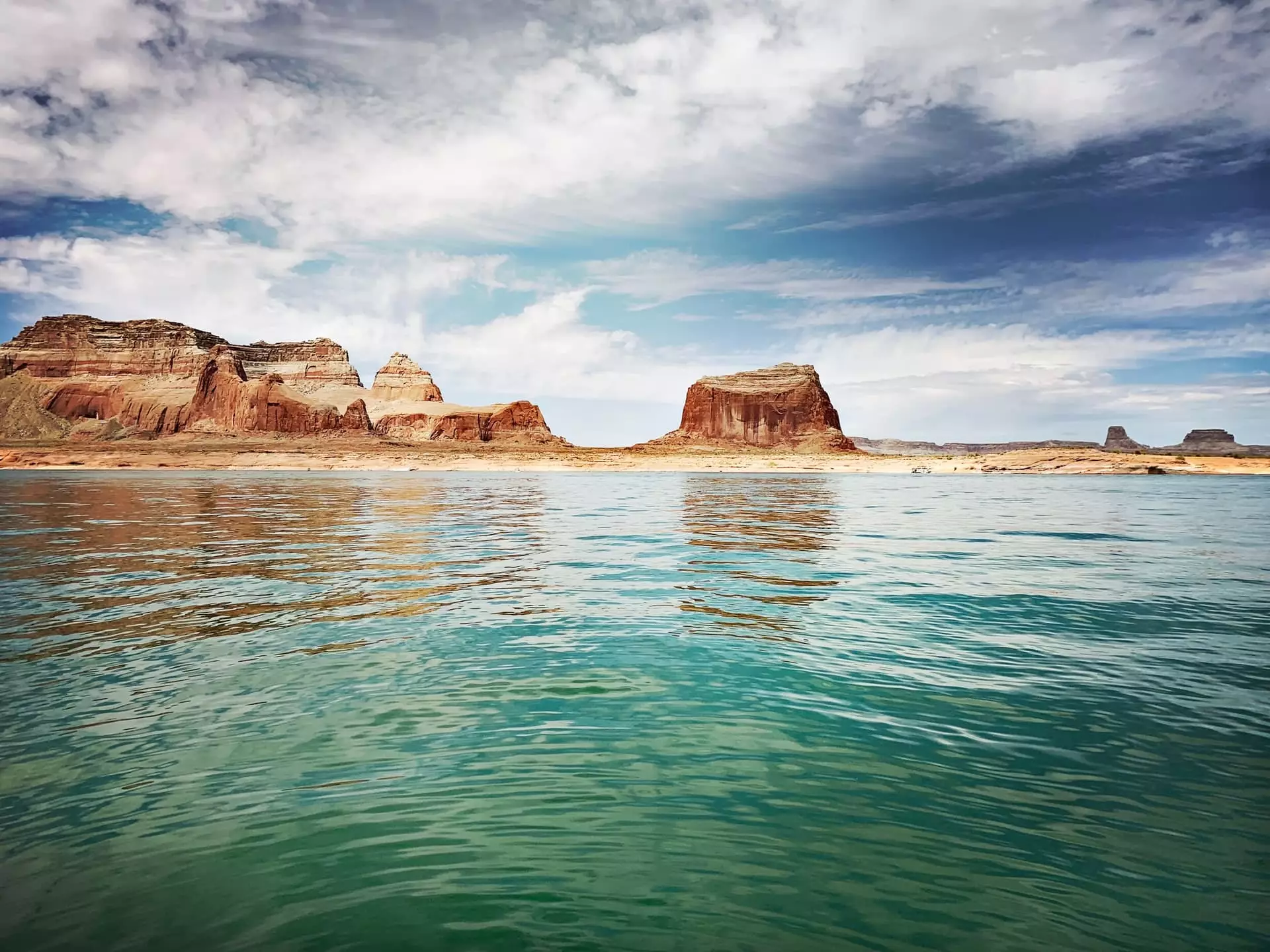
The Glen Canyon Dam Overlook is a free viewpoint on the canyon rim just outside Page, Arizona, with a view of Glen Canyon Dam, the steel arch bridge beside it, and the Colorado River far below. It is a walk of about 940 feet from the parking lot, so the whole stop takes 15 to 30 minutes.
It is one of the easiest things to add to a day in Page. Here is how to find it, what you will see, and how it fits around your Lower Antelope Canyon tour.
Glen Canyon Dam Overlook at a glance
| Cost | Free |
| Where | Off Scenic View Drive, west of US Highway 89, in Glen Canyon National Recreation Area |
| The walk | About 940 feet on a path carved in stone, down uneven rock steps with a metal handrail |
| Time to allow | 15 to 30 minutes |
| At the trailhead | Parking for cars, RVs, and buses, plus a picnic shelter |
| From our check-in | About 15 minutes by car |
How to get to the overlook
From US Highway 89, turn west onto Scenic View Drive, 1.5 miles south of the Carl Hayden Visitor Center. Take the first road on the right and park in the lot at the end of it. You can also reach Scenic View Drive just south of the park headquarters building.
From the parking lot, follow the handrail down the rock steps to the viewpoint on the rim. The steps are uneven, so wear shoes with grip, and know that the path can be tricky with a stroller or limited mobility.
What you will see
- Glen Canyon Dam, a concrete arch dam 710 feet tall from bedrock, holding back Lake Powell.
- Glen Canyon Bridge, the steel arch bridge that carries US Highway 89 across the canyon, 700 feet above the river.
- The Colorado River running below the dam. This is the same river that curves around Horseshoe Bend a few miles downstream.
The overlook has guard rails. Stay behind them, and do not climb on the walls or rocks, because the drop to the river is sheer.
The Carl Hayden Visitor Center
For the dam itself, stop at the Carl Hayden Visitor Center on US Highway 89, right beside the dam and the bridge. It sits on the rim high above the river, with views down onto the dam and across to the bridge, plus exhibits, a bookstore, and a gift shop. Admission and parking are free.
The center is open daily except on major holidays, with shorter hours in winter. It keeps Arizona time, the same as Page and our tours.
Can you tour Glen Canyon Dam? Not at the moment. Guided tours inside the dam have been suspended for several years and were not running as of fall 2026. Check with the visitor center before you plan around one.
Glen Canyon Dam facts
Figures from the Bureau of Reclamation, which built and operates the dam:
| Height | 710 feet above bedrock, 583 feet above the original river channel |
| Crest length | 1,560 feet |
| Built | 1957 to 1964 |
| Concrete | About 4.9 million cubic yards in the dam alone |
| Power plant | 8 generating units, 1,320 megawatts |
| Lake Powell | 186 miles long, with 1,960 miles of shoreline at full pool |
| Glen Canyon Bridge | Built 1957 to 1959, 700 feet above the river, 1,028 foot arch span |
Glen Canyon before the dam
Before the dam, Glen Canyon was a long, quiet stretch of the Colorado River lined with side canyons and sandstone alcoves. The dam began holding back the river in 1963, and the water that rose behind it became Lake Powell, which now fills those canyons. The dam was built to store water and generate power for the Southwest, and the loss of the original Glen Canyon is still debated.
Glen Canyon Dam vs Hoover Dam
The two are often confused. Hoover Dam, on the Arizona and Nevada border near Las Vegas, holds back Lake Mead and is 726 feet tall, just 16 feet taller than Glen Canyon Dam, which makes Glen Canyon the second highest dam in the country. Glen Canyon Dam sits upstream near Page and holds back Lake Powell. If you are driving from Las Vegas, Hoover Dam is a separate detour southeast of the city, away from the route to Page.
Pairing it with your canyon tour
The overlook and visitor center fit easily around a Lower Antelope Canyon tour. Together they take about an hour, and they sit on the same stretch of US Highway 89 as Horseshoe Bend, which is a few minutes south of town.
- Morning: your canyon tour, arriving 45 minutes early for check-in.
- Midday: lunch in town, then the visitor center and the overlook.
- Late afternoon: Horseshoe Bend as the light warms up.
For more ideas, see things to do in Page, our guide to restaurants in Page, and Lake Powell and Antelope Canyon. When you are ready, book your Lower Antelope Canyon tour.
We Think You'll Like These
Read More of Dixie

Subscribe to Our Newsletter
Stay connected to the canyon. Get stories, updates, and insider tips delivered to your inbox.